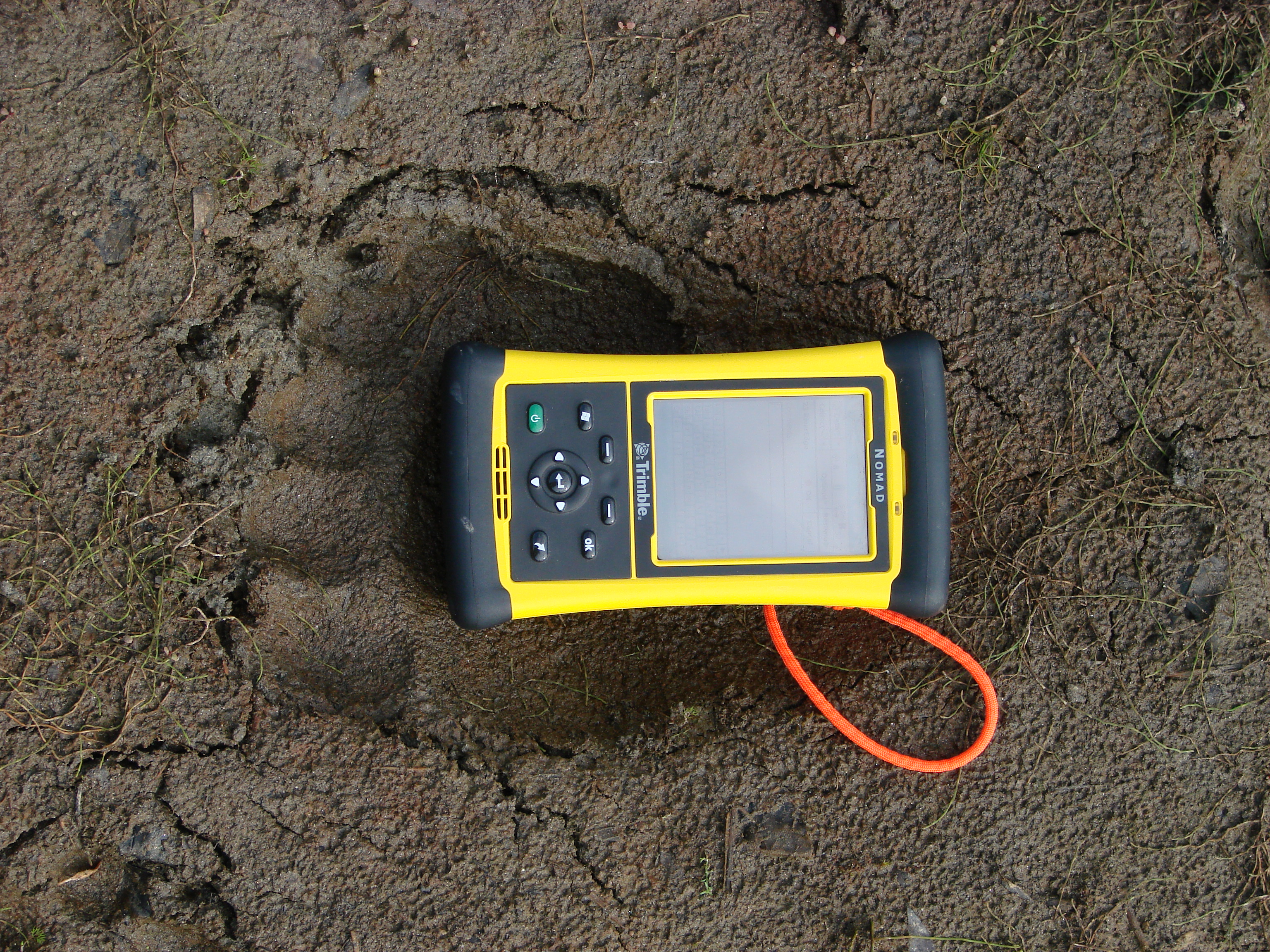
Alaska is huge. When standing on the ground, distant peaks seem ever so close as there are others in the backdrop. When paddling down river, the next bend seems ever so close as the wide channel width belies the true distance downstream. In fact, just trying to gauge the total distance travelled in 11 days is difficult in that the mapped distances do not reflect perennial change, nor do they account for our sinuous travel. The GPS data mask the fact that there were other routes to choose from; in our case we often strayed toward tributaries, always seeking to know what lurked upstream. Although we were outfitted with latest technological advances in global positioning system receivers and software, technology came with its limitations. Our limitations stemmed in part from the ever present need for power (in this wide open country there was never a lack of satellites in the sky) and the lack of detailed a priori digital data to anchor our observations. Our USGS topographic maps were largely out of date, and our aerial photos – generously donated by the National Park Service Inventory and Monitoring program – were often 30 years old. A GPS can tell you exactly where you are, but without geographic context, this information is nearly meaningless.
Inuit hunters coursed this landscape – and riverscape – with little more than stars (an omnipresent one in the sumer, an overabundance of others in the winter) and intuition for some ten-thousand years. They persisted in the harshest of conditions by having an innate sense of geographical scale.
Relevance to Data Collection
Advanced data analysis techniques typically rely on one or more of three predominant methods to relate and compare information: codified typology, space, and time. A codified typology is an organized set of repeatable codes that simultaneously signify uniqueness to the datum in question, while preserving its relationship to other similar entities. Vegetation classification is perhaps the most common typology used by ecologists to relate comparable information. On occasion these codes represent a species – for example the 6-character code SALFUS to represent the genus species epithet of the Alaskan bog willow (Salix fuscescens) – or more often a land cover type, such as EV for evergreen forest. The other two typologies, spatial and temporal, require some degradation of scale to improve the relative relationship between entities. Take for example a dynamic entity such as the Kobuk River, observations made in an exact location at an exact time have little comparability with other observations made in different locations and at different times. By acknowledging certain strata as meaningful, disparate data can be related to each other in both space and time. For our purposes, the site scale – often on the order of 102-3 meters – and biweekly time scale (~14 days) provide a useful aggregation to relate and compare data. Thus the data we share were often collected throughout a portion of a given day, but must generally be considered as a snapshot for the brief period of time we visited. These data were collected at a given site, which varied in size and complexity, but mostly seemed pinpointed given the vastness of our backdrop. It sure was big out there.