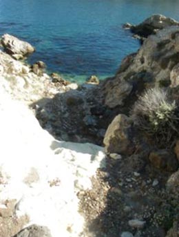
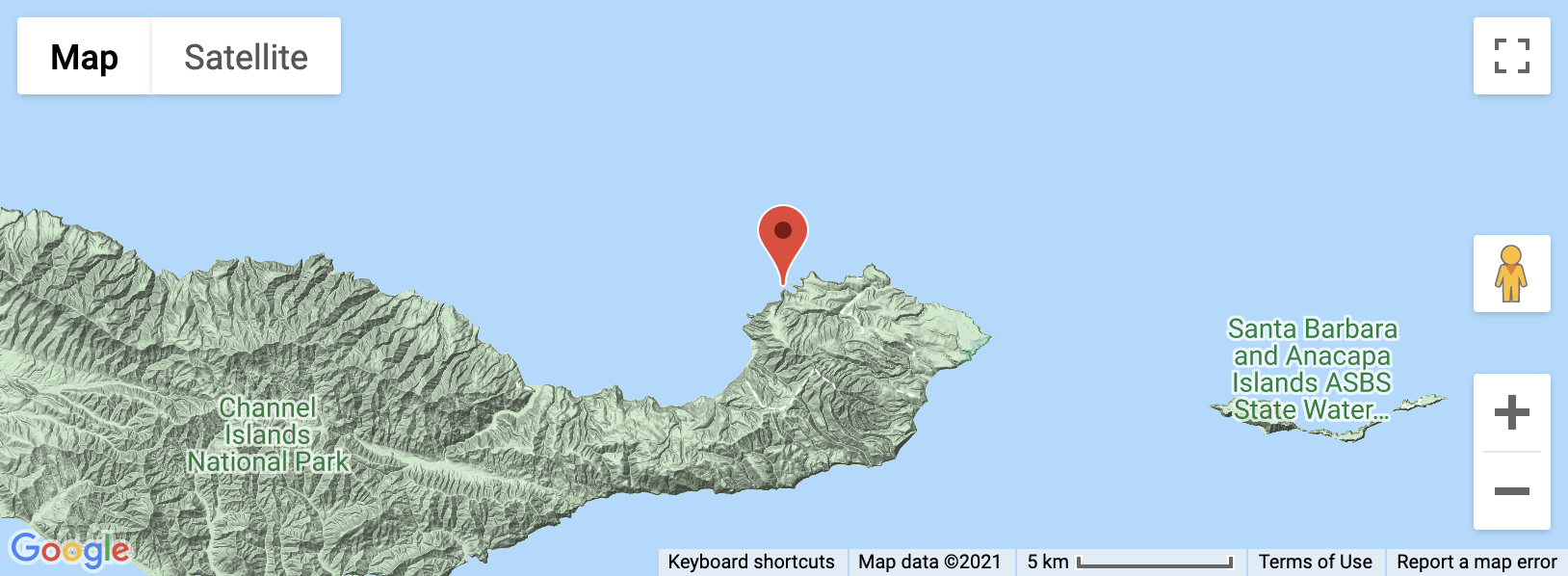
There is a small drainage on Santa Cruz Island that ends its journey from source to sea with a dramatic knickpoint on the western side of Potato Harbor. We named this drainage "Buckwheat Canyon" for its dense vegetation. Potato Harbor has been eroded into the shale of the Potato Harbor and Monterey Formations along their contact with an underlying layer of the more resistant Santa Cruz Island Volcanics. Above its sharp drop into the ocean, a short hike up a narrow canyon leads to a discovery of downcutting through thick colluvial layers, and extremely dense vegetation, each of which tell a story of dynamic geologic and climatic processes on Santa Cruz Island.
The presence of a knickpoint at base level , and of a boulder-chocked channel incised deep into colluvium layers, indicate a young drainage in disequilibrium. (See picture below)
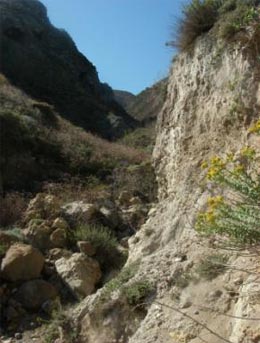
Buckwheat Canyon is not an example of a "typical" stream. The canyon consists of a very steep, relatively straight channel incised into the Potato Harbor and Monterey Formation. The upper portion of the canyon has relatively low slopes since the headwaters are atop of the 400 ka marine terrace (Clark and Selander). This straight, deeply-incised channel reflects the Quaternary uplift of the island (Selander and Clark), and the subsequent rapid incision of the drainage below the marine terrace. (The paper by King and Tracy outlines the notion of "disequilibrium" long profiles of small drainages of this sort, as they respond to pulses of uplift). This incision has oversteepened surrounding slopes, which then supply the colluvium deposits through mass wasting events.
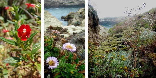
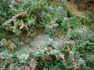
The vegetation in Buckwheat Canyon also tells an interesting story. Potato harbor is on the northern side of the island. Prevailing winds from the northwest propel moisture rich marine air and summer fog on the north and west facing slopes of SCI (Pinter 2005). This additional moisture allows for a rich diversity and lush community of plants in this drainage. In September 2010, when Geology 230 visited SCI, we observed many more species growing at a much higher density than we observed in any other place on the eastern portion of the island. Flowers of all colors of the rainbow were observed. SCI is home to a cornucopia of endemic flora, many of these species were elegantly displayed for our class. Santa Cruz Island buckwheat (Eriogonum arborescens), in particular, was ubiquitous, hence the name Buckwheat Canyon.
REFERENCES
Pinter, N., and Vestal, W.D., 2005, El Nino-driven Landsliding and Post Grazing Vegetative Recovery, Santa Cruz Island, California: Journal of Geophysical Research, v. 110.
Santa Cruz Island Endemic Restoration Project. Native Endemic Plants found on Santa Cruz Island. November 22, 2010. Retreived from: http://www.channelislandsrestoration.com/sci/endemics.htm